The GNOSIS SDK

GnosIS

A highly scalable object-oriented GIS visualization SDK supporting 3D views and terrain

Learn More

Dive in and Create

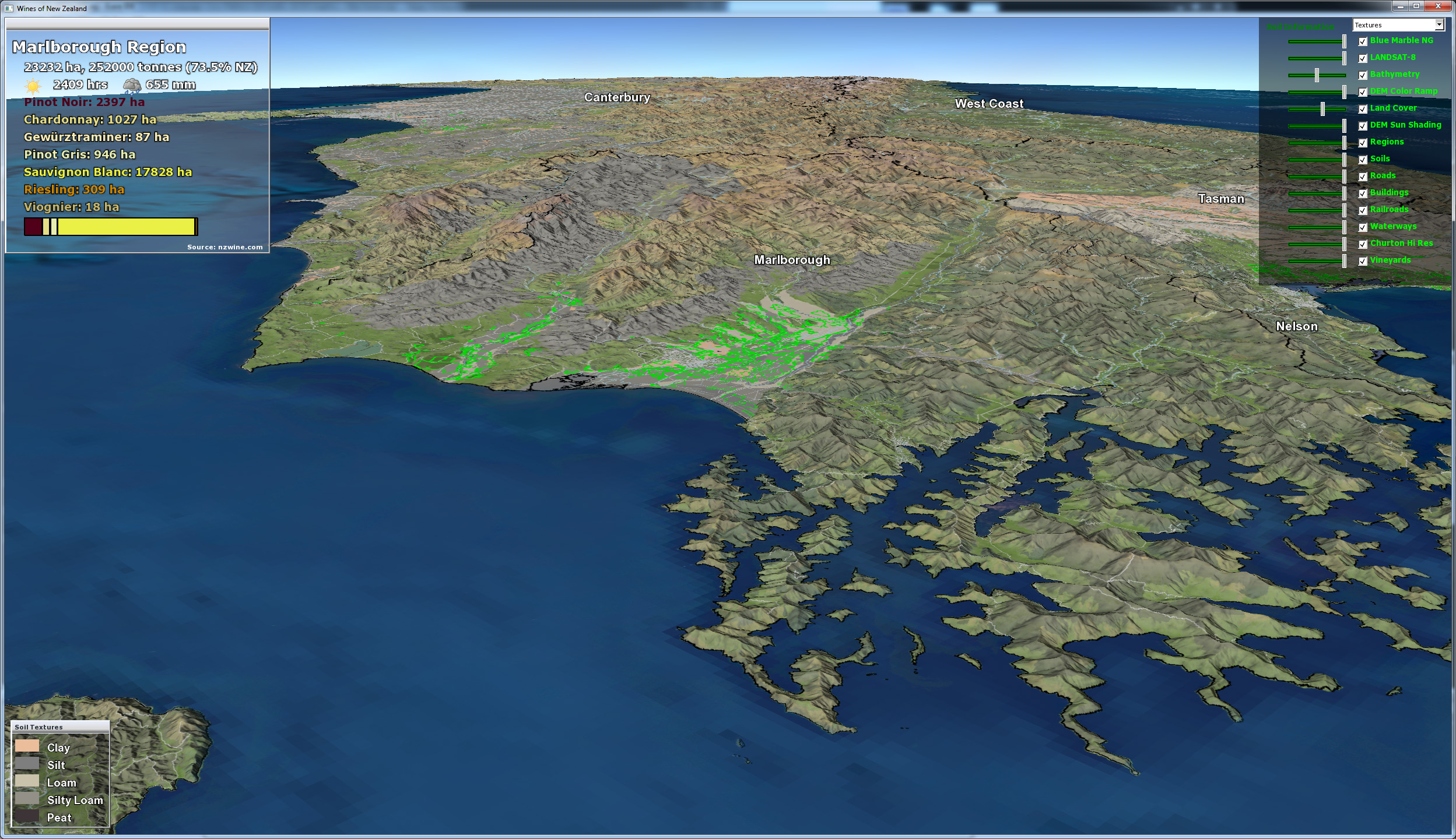
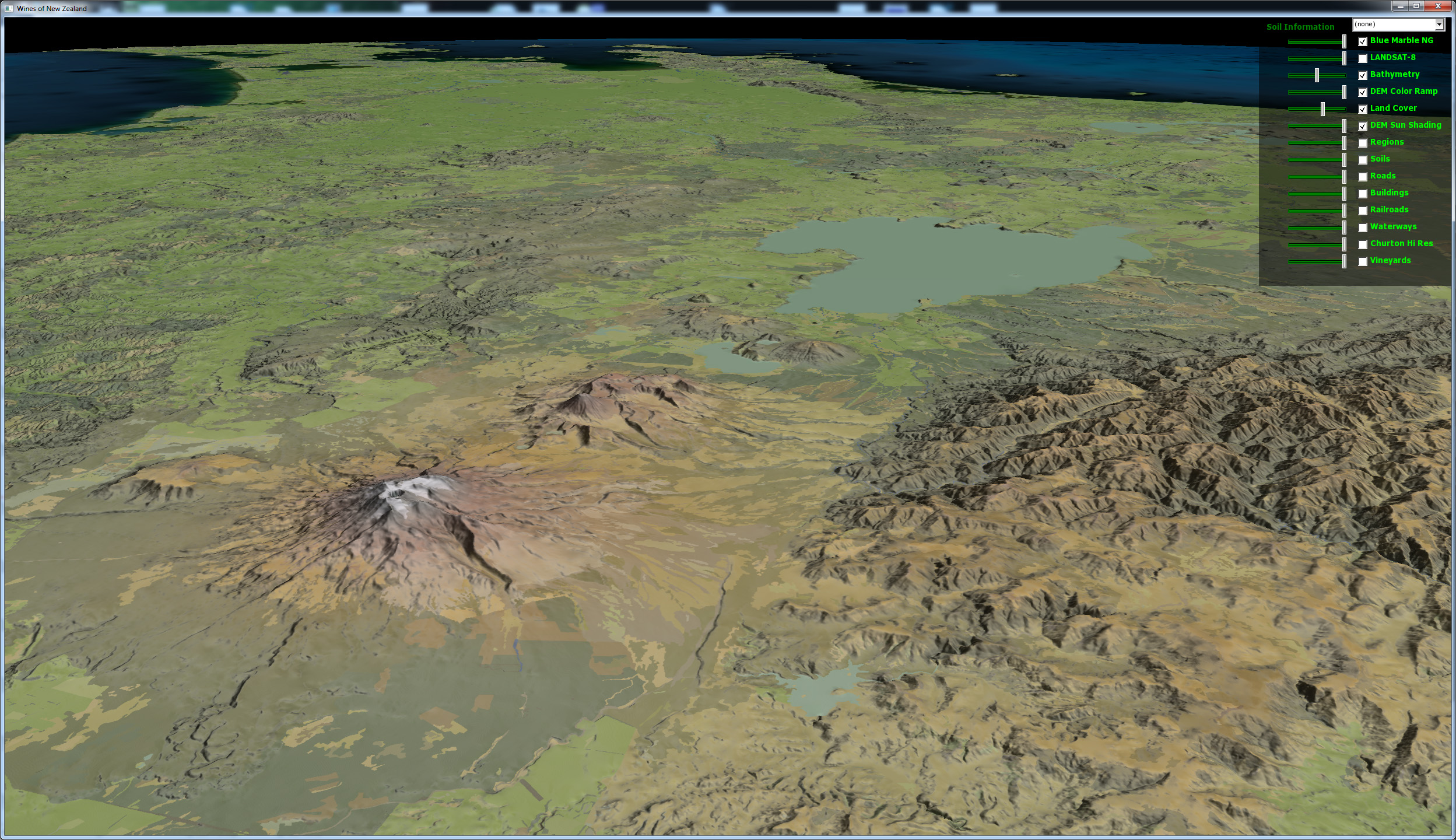
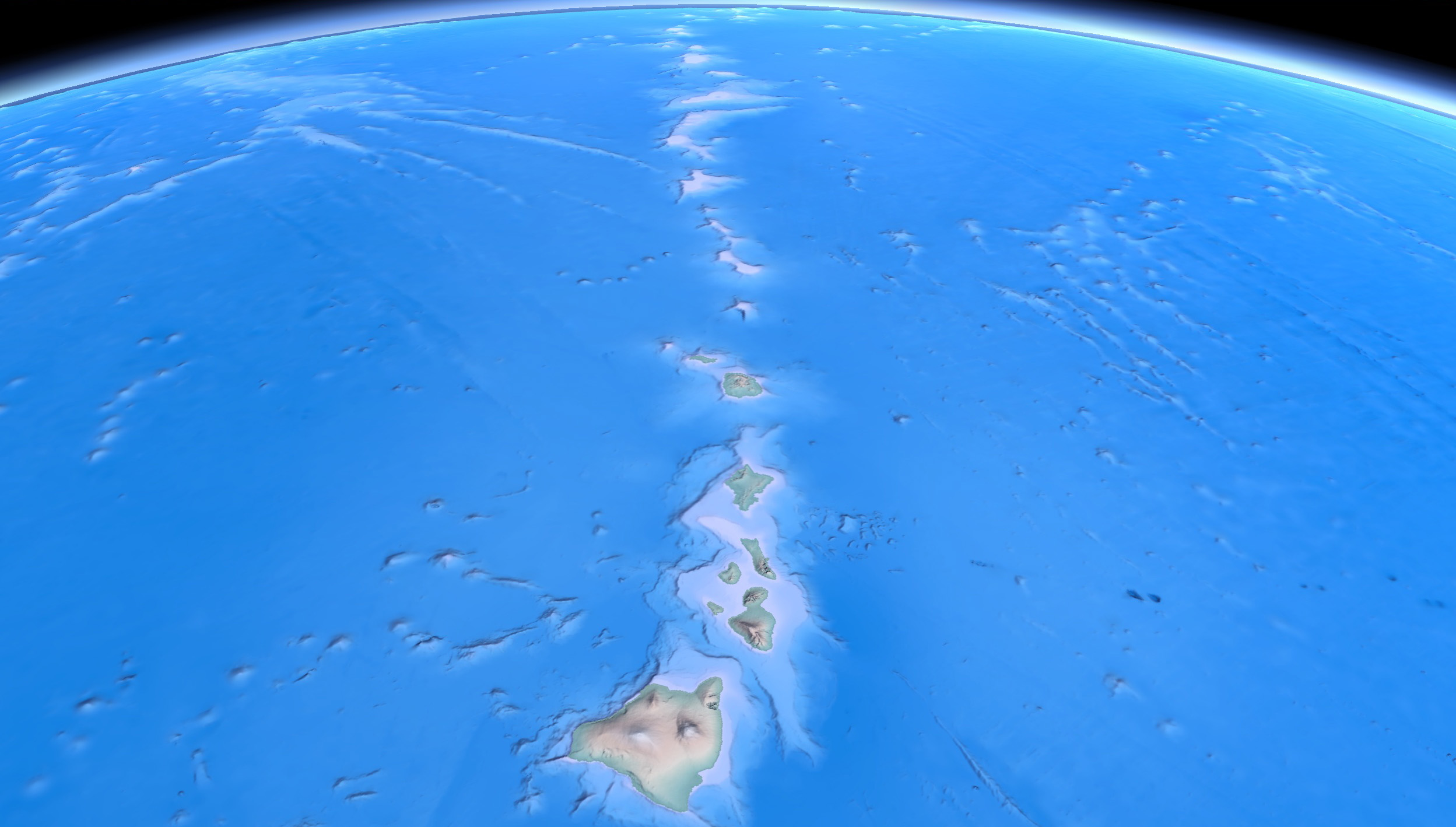
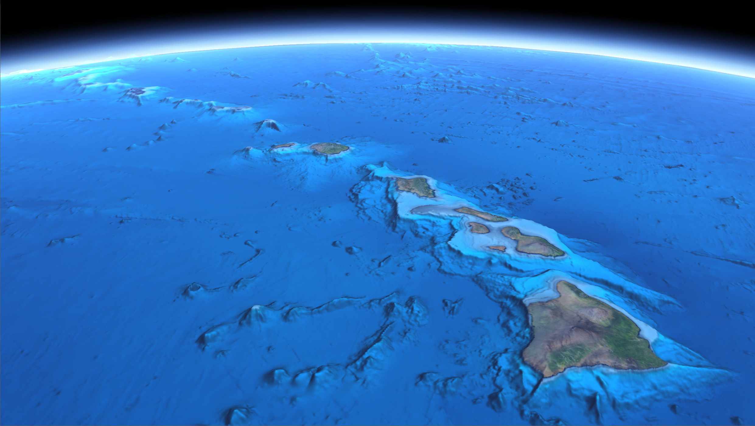
The GNOSIS SDK is built atop the Ecere SDK, in the eC programming language, thus providing you with comprehensive APIs for building GIS applications for desktop, mobile and web platforms.

Windows OSX Linux FreeBSD Android Web

Screenshots


Data Sources

Blue Marble Next Generation
Reto Stöckli, NASA Earth Observatory
Clouds
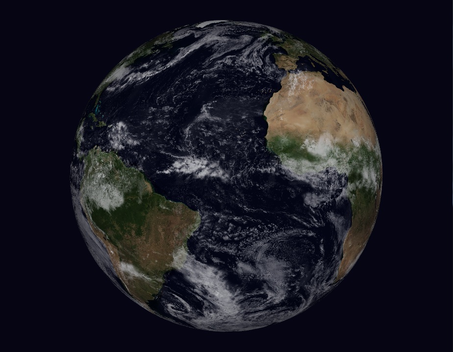
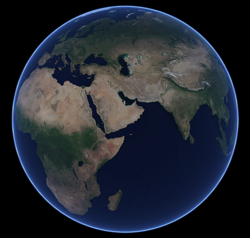
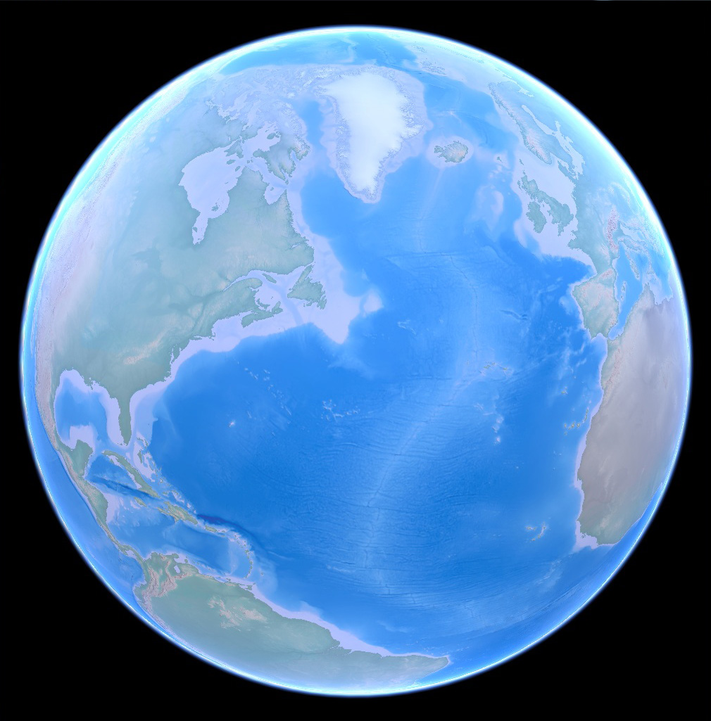
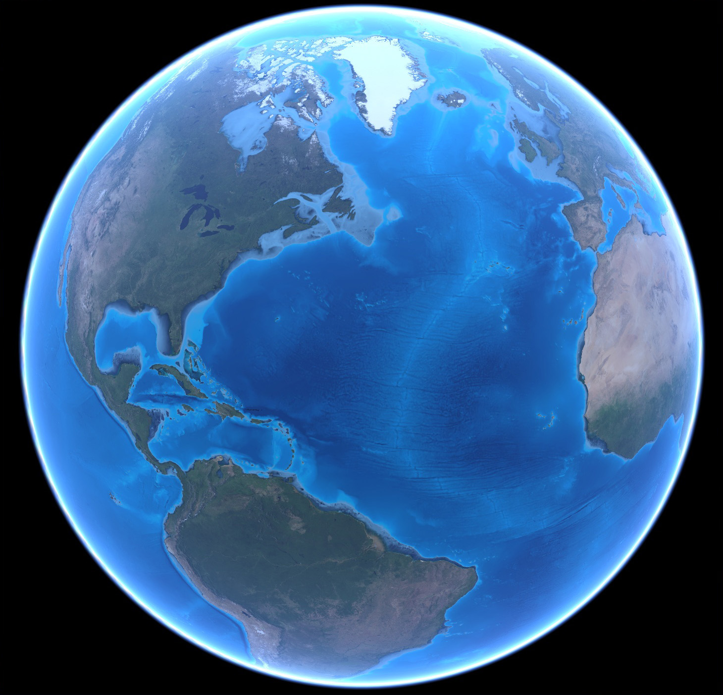
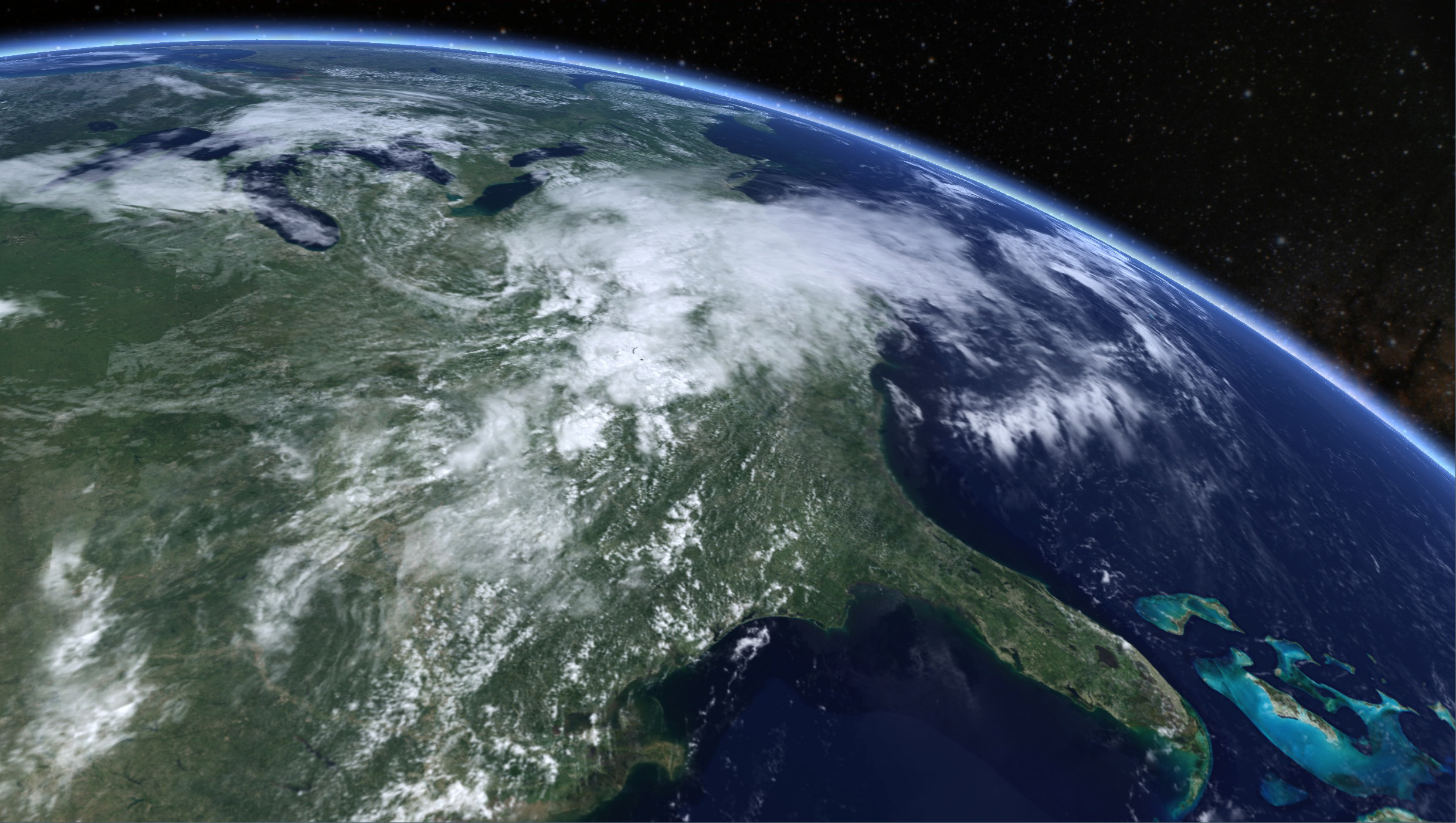
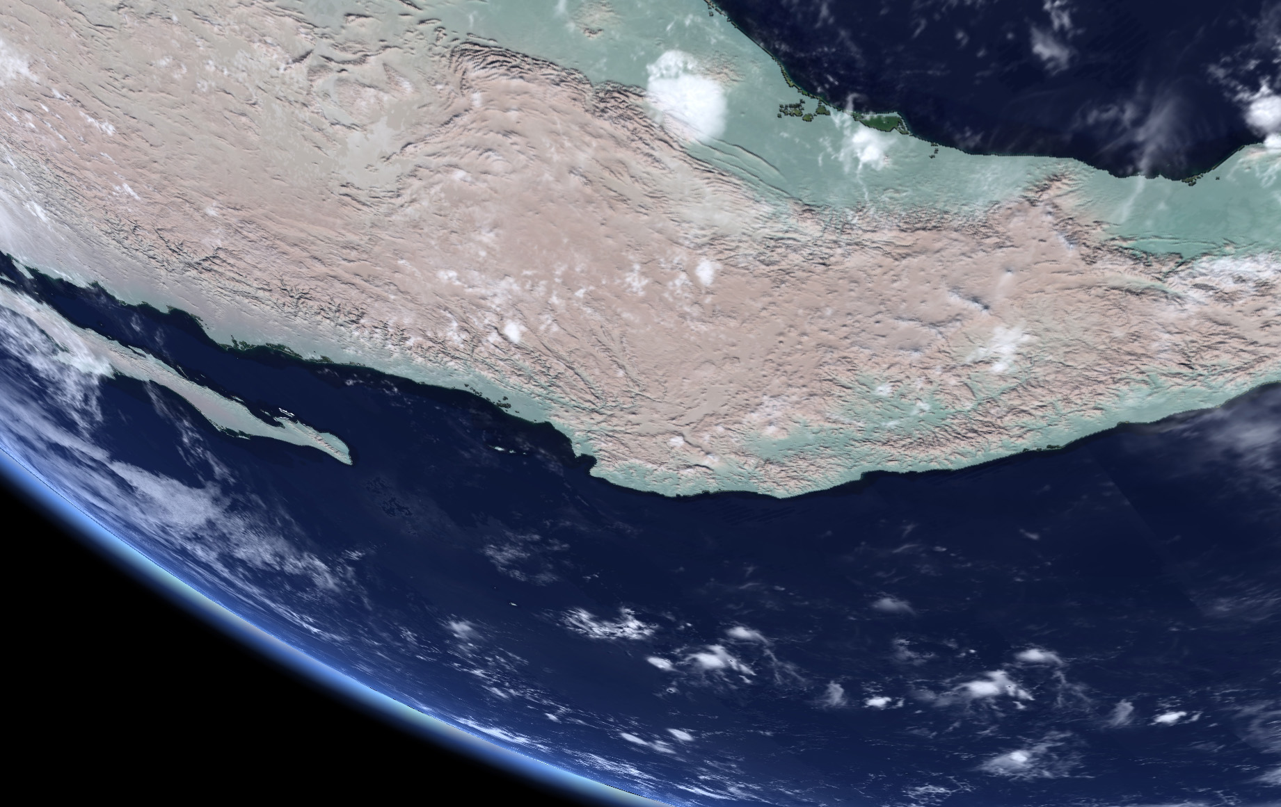
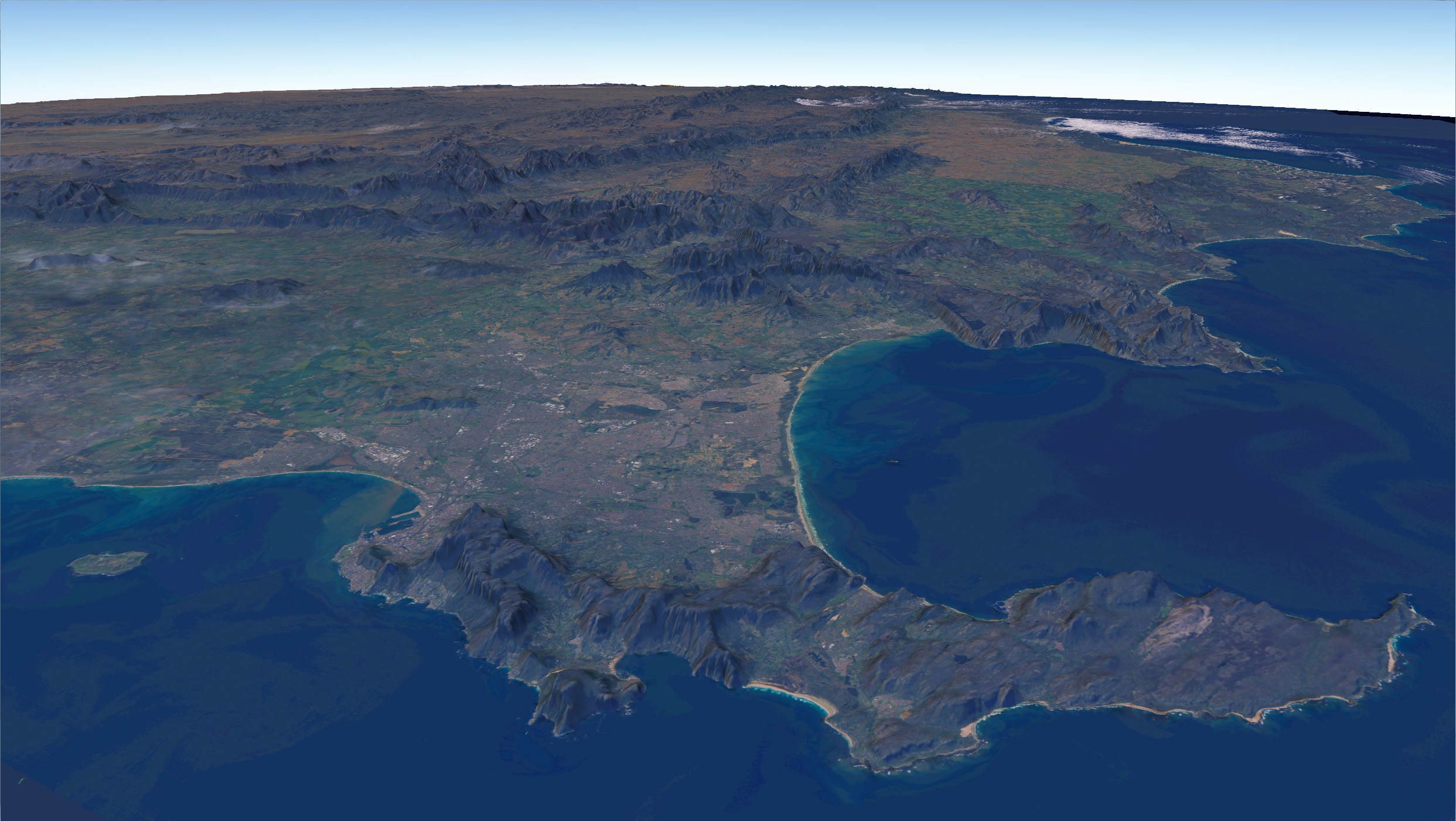
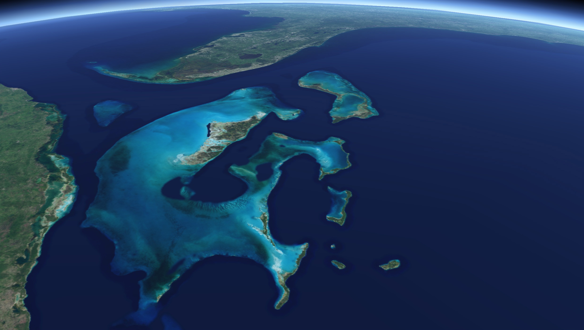
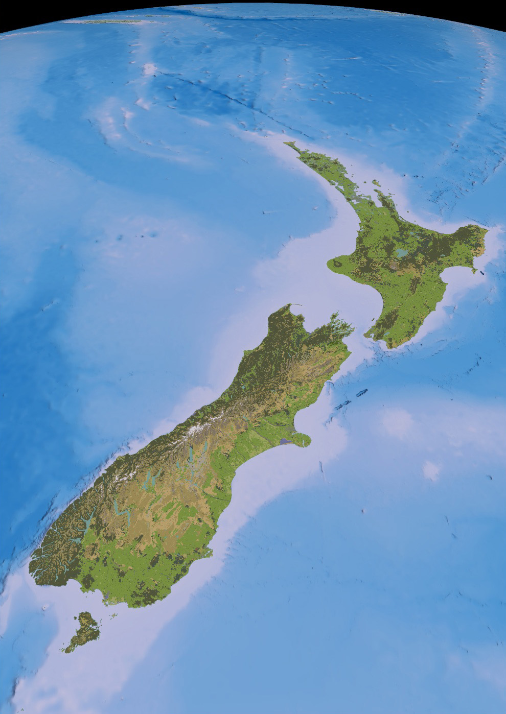
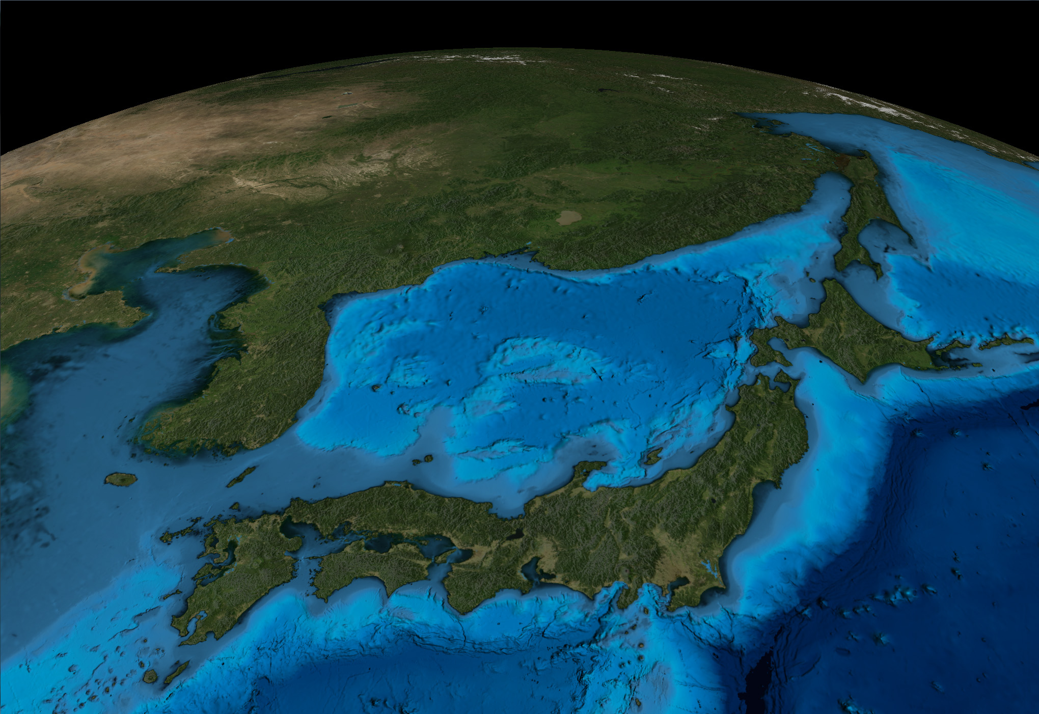
NASA Goddard Space Flight Center Image by Reto Stöckli (land surface, shallow water, clouds). Enhancements by Robert Simmon (ocean color, compositing, 3D globes, animation). Data and technical support: MODIS Land Group; MODIS Science Data Support Team; MODIS Atmosphere Group; MODIS Ocean Group Additional data: USGS EROS Data Center (topography); USGS Terrestrial Remote Sensing Flagstaff Field Center (Antarctica); Defense Meteorological Satellite Program (city lights)
Night Lights
Data courtesy Marc Imhoff of NASA GSFC and Christopher Elvidge of NOAA NGDC. Image by Craig Mayhew and Robert Simmon, NASA GSFC.
SRTM
Shuttle Radar Topography Mission From Jonathan de Ferranti (viewfinderpanoramas.org)
LANDSAT-8
Data available from the U.S. Geological Survey.
Bathymetry
General Bathymetric Chart of the Oceans (GEBCO), British Oceanographic Data Centre (BODC) The GEBCO_08 Grid (gebco.net)
New Zealand DEM (North & South)
Landcare Research New Zealand Limited, Land Resource Information System (LRIS)
New Zealand Land Cover Database 4
Landcare Research New Zealand Limited, Land Resource Information System (LRIS)
New Zealand S-map Soil Database
Landcare Research New Zealand Limited, Land Resource Information System (LRIS)
New Zealand Mainland Vineyard Polygons
Land Information New Zealand
New Zealand Regions Boundaries
Statistics New Zealand
Open Street Maps
OpenStreetMap contributors